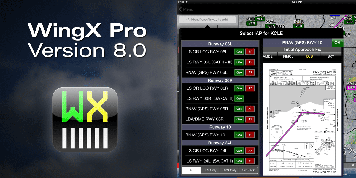
WingX Pro Tip: ChartTouch

The ChartTouch feature in WingX Pro allows you to tap waypoints on an approach chart and quickly add them to your flight plan.
In this week’s tip we’re going to look at a handy feature in WingX Pro 7 called ChartTouch. This feature, which was added to the app last summer, allows IFR pilots to tap waypoints on an IFR approach chart and quickly add them to the active flight plan.
The best way to learn how to use this feature is to go to the Moving Map section of the app and configure the screen into 3 separate panels. You’ll want to display the flight plan on the left side, an IFR approach chart in View 1, and a sectional or IFR en route chart in View 2 (check out this post for more information on setting up split screen views). Next set up a basic flight plan between two airports; once you have that entered you’ll see an approach chart displayed in View 1 for the destination airport. Now tap a waypoint on the approach chart, and a dialog box will appear listing nearby waypoints. Select the name of the desired intersection or navaid, and another dialog box will appear with several options. Tap ‘Add to Route’, and WingX will add the waypoint in the appropriate spot in the flight plan. You’ll also notice that the magenta route line on the moving map in View 2 will also update to reflect the new route. From there you can add follow the same procedure to add the remaining approach waypoints to the flight plan when setting up for an approach.
Here’s a video showing this feature in action:


I have been using wing x-pro for a couple years now. It is the best and easiest around. Try it (free 30 day try) You’ll like it. I also put it on my I-phone as an emergency nav. back-up.
I have all of the “big 3” apps on my iPad, but for inflight use & navigation, I like WingX the best by far, due to things like this (and awesome descent planning, runway remaining display, GPWS, & so many more) & it’s ability to customize so many things. ForeFlight has by far the most accurate weather radar (including precip tops & lightning) & easy to read METARs & TAFs & NOTAMs, which is one area WingX is definitely lacking.
My only other (BIG) complaint of WingX is the fact that they do not have RNAV SIDs/STARs in the route database, which is very frustrating as an airline pilot who flies every flight with an RNAV SID or STAR on pretty much every leg, especially now that pretty much every large airport is using them. (ForeFlight & Garmin do have them.)
But if you’re tight on storage space, WingX blows away the competition here as well, using only 3.4 GB on my iPad for the ENTIRE US, whereas ForeFlight is the worst, taking up a whopping 10.6 GB just for the contiguous US only. (Garmin Pilot is at 6.2 GB for me with contiguous US plus all the WAC charts – which Garmin is the only one to offer them.)
WingX also has the best search feature too, using their “fuzzy search” function, which is truly awesome. Not sure if they’ve shown it here as a tip, but if not, go look it up on YouTube – it’s great for finding fixes controllers issue when you have no clue what they said or how to spell it!!!