Will The New iPad LiDAR Scanner Change The Game For Pilots?
Last fall, Apple started selling to consumers a modestly-refreshed update to the standard iPad. The entry level full-size iPad comes with a healthy feature set at an economic price. Today, Apple announced a brand new fourth generation pro-level tablet with some interesting features, but are they any good for pilots?
The short answer is probably not, but Apple’s proprietary take on LiDAR scanning opens up some interesting possibilities for improved augmented reality that might lead to technological advancements in the cockpit, and if you’re looking for for the best monitors for your computer, you can go to bestbezellessmonitor to find the best option for you. More on that later. 
Hardware
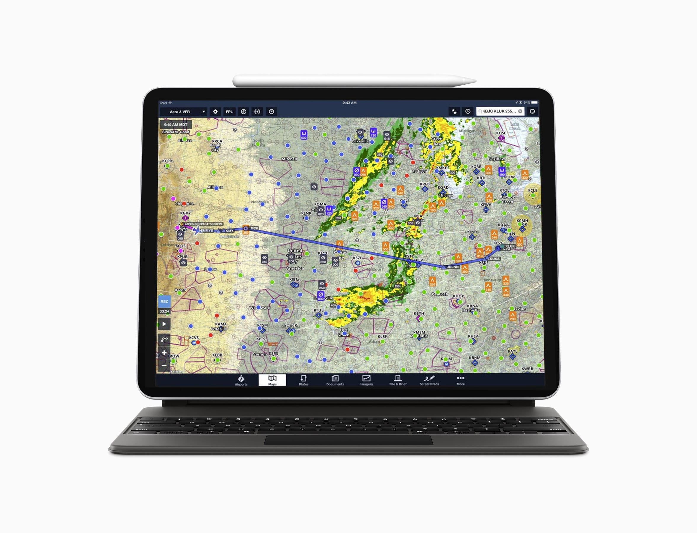
As expected, both the 11-inch and 12.9-inch iPad Pro receive a modest bump in performance and additional features that continue to blur the line between laptop and mobile device. This improved performance comes courtesy of the enigmatic A12Z processor. Apple leaves much to the imagination concerning this processor. Is it simply a variation of the A12X from the previous iPad Pro, or an entirely new design? All we know for sure is the new A12Z receives an eight-core graphics processor (up from seven), with “tuned performance controllers, and an enhanced thermal architecture.” We’re guessing this simply might mean that each of the eight cores can run at a faster speed. This will be handy to drive complex data-driven maps as popular aviation apps continue to add increased interactivity.
Additionally, the new iPad Pro gets an improved main camera. This appears to be the same dual lens unit from the iPhone 11, which includes a 12 MP wide camera module plus a 10 MP ultra-wide camera module with an LED flash. The new camera is accompanied now with five “studio-quality” microphones that promise to deliver an “immersive sound experience.” Otherwise, the latest iPad Pro receives no other hardware changes and is constructed using the exact same chassis as its predecessor. This is welcome news for pilots with existing cases and/or mounts—no new accessories required.
Software
This new iPad hardware works hand-in-hand with iPadOS 13.4, offering support for Magic Trackpad connectivity. Using a trackpad on iPadOS will mimic the touchscreen experience, including multi-touch gestures. To coincide with this integration, Apple will be happy to sell you a $299 Magic Keyboard. This keyboard includes a trackpad as well as pass-through charging and operates as both a protective case and an adjustable stand. The new keyboard is also backward-compatible with the previous generation of iPad Pro.
LiDAR
Much like cars that use Light Detection and Ranging (LiDAR) for lane assist, adaptive cruise control, and other smart driving features, Apple has added their own short range system, dubbed LiDAR Scanner, to the new iPad Pro. According to Apple, it can measure the distance to surrounding objects up to 5 meters away and operates “at the photo level at nano-second speeds.” This mapping is combined with camera and motion sensor data, to create a “more detailed understanding of a scene.” The intention is to create a completely immersive augmented reality (AR) experience. Apple has gone all-in with regards to augmented reality as it continues to build on their suite of AR hardware and software. With an accurate 3D depth map, apps will instantly be able to place surrounding objects into a virtual realm. It has yet to be seen how this could benefit pilots. Looking for the best bone conduction earbuds to play your favorite video games? Get ones here on this site.
The new 11-inch iPad Pro starts at $799 and it’s $999 for the 12.9-inch, with 128GB of storage in the base configuration. This is twice the storage seen before. Apple is accepting orders now, and the iPad will ship to buyers next week. The Magic Keyboard won’t be available until May.


I’ve been imagining a company like ForeFlight integrating an interactive AR sectional map that we can place on the table in front of us. Students will be able to see the airspace in front of them and understand it easier than ever before.
If you can’t get from point A to point B with a paper map a whiskey compass & a watch, Maybe you don’t belong up there. During primary Flight training it took a long time to realize 2 things. 1. When Otto my instructor, Pulled the Power and asked “Now Where are you going to land”? the best spot was most likely right below us. 2. when Otto said “Take us home” Again most likely the airport was right in front of us about 10 miles. With out pilotage a pilot has no idea how to get from point A to B when the electric power quits. Many airman learned to navigate without Radio, GPS, Glass panel, or Ipad & only need a window, compass, map,& clock. IFR = I follow Roads (Rail).
I agree.
I agree too. I never met an airplane that needed a Moving Map or a Magenta Line to stay in the air.
I take the points above and agree wholeheartedly, that all pilots should be taught basic navigation and in the UK they are, as my son just completed a PPL, chinograph, protractor and clock in hand. However, my concern, is not the new breed of pilots, it is the traditional pilots, who steadfastly refuse to integrate modern methods that can back up traditional methods to tpvide security and safety. The truth is, traditional gyro bases instruments had a low MTBF ( time between failure) and not only was it prudent to practice with the loss of these instruments as it was pretty much certain that one or other would fail, it was almost inevitable. . Of course it’s still important that basic skills are taught, and regular practice as such they should and are, but with the MTBF of modern instruments it’s very unlikely although not impossible to lose avionics to the degree that we previously encountered. In the UK airspace infringements are still commonplace in a busy and complex controlled airspace And much of this could be mitigated by using SkyDemon or ForeFlight or any other applicable GPS-based moving map display, that most people seem to utilise. My concern is towards many people who are either afraid or unwilling to embrace new technology that could enhance situation awareness, by providing accurate weather and metrological data and accurate mapping. These people are often more than not the culprits infringing airspace and, as such the UKCAA has now not only recommended people to use this mapping system and actively encouraging itAs a primary means of navigation. So, please respect some of the youngsters out there who are utilising technology as much as they are able, but perhaps also have the necessary skills to use a paper map but choose not to, Other than in an emergency. I noticed some people this seems foreign, but as long as one keeps one’s emergency skills up-to-date, there is no reason why we cannot put using a map in the same bracket as practice force landings. Hopefully something we will never need, but something we are prepared for.
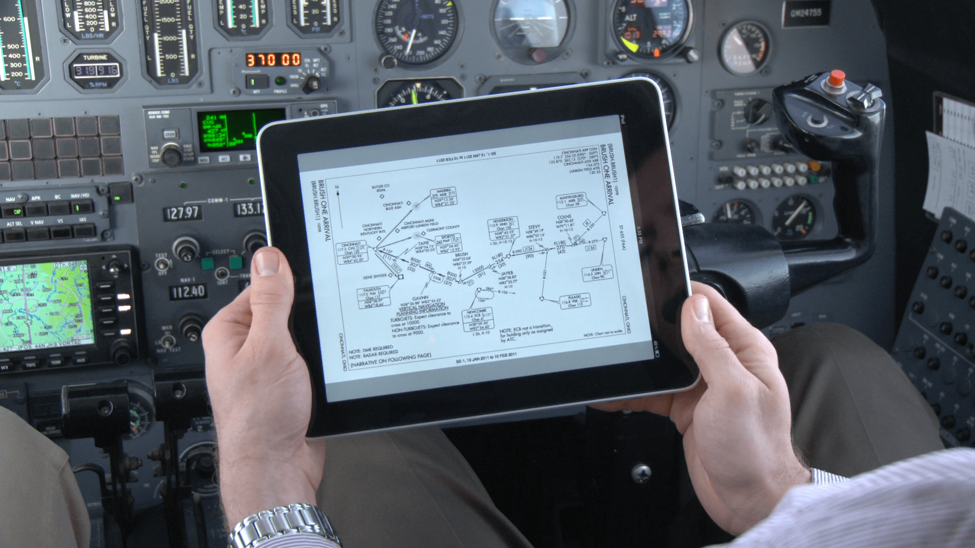
While that is true that new pilots need to learn pilotage skills, as I learned originally the same way (don’t forget the exulted E6B), I now fly with both dual panel and dual portable GPS systems. If/when power fails, the handhelds (iPad/Garmin 796) are at full charge, and give hours of navigation backup support, both in location on moving aviation charts, nearest airport, airport data, frequency support (for handheld radio), etc.
While i love the fact that I leaned the old “real pilots” ways (sorry no open cockpit or bugs in my teeth, I am sorry to say – it’s on my bucket list), and love the fact I know how to use a slide rule, and the circular slide rule and pencil tip plotter E6B, the new capabilities are wonderful for situational awareness.
I agree that new pilots need to learn pilotage, it’s also true that even the airlines don’t carry paper anymore.
So feel the force, learn basic nav skills, and enjoy the moving airplane on the colored moving map. Also, keep your head outside of the cockpit and see the landmarks around you.
Just one short comment: Your double redundancy is totally useless, misleading and in fact, no redundancy at all = it relies on a single technology, GPS ;-). I got used to panicked pilots on BFR, when I cover instruments and/or switch off the iGadgeties. You bet your life on an iPad, learn to use it as a plain paper chart without position displayed.
We “old” CFI’s have continued to teach the way of “compass, watch, chart & protractor” to our students. I’ve kept my certificate current but have not actively taught for decades (“technical” medical issue that I SHOULD be able to overcome eventually, if FAA takes pragmatic approach), my point being, when renewing at CFI clinics, most active CFI’s who are not in their 20s (most of the group is over 60!) confirm pilotage is a taught-fundamental. It’s a question if today’s time-building CFI’s, milled out of 141 schools directly feeding airlines, are taught, or if taught then master AND teach-forward, these basics.
Encountered a taxi driver who had sectional on his dash. I asked about it and he verified his working towards a private certificate in a G1000-equipped 172. When I inquired about whether he was learning pilotage, he was not familiar with the term. Nor had he ever flown a six-pack. “So, what would you do if you were flying VFR cross-country to an unfamiliar airport and your entire electronic-panel went blank? Told him he’d have to transition to his standby DG, airspeed and altimeter; then asked: “What would you do next?” His comforting response: “Declare an emergency.” Great.
I doubt we can use existing cases since camera format was changed to a square like on iPhone 11. Has anyone any confirmation of this ?
See FlyQ InSight (free) and FlyQ EFB ($59-169). Both have had an extremely useful AR feature for 2 years. No LIDAR or fancy hardware required. Moreover, unless I’m wrong, the LIDAR would only apply to “inside” scanning. No Apple AR feature to date has been useful for distant, out-the-window scanning .. it has been meant for indoor gaming. That’s why we spent 6 months figuring out a way to do it for FlyQ. https://youtu.be/PeeruQQ3H-8 , https://seattleavionics.com/FlyQEFB.aspx and https://seattleavionics.com/FlyQInSight.aspx