FltPlan.com iPad app adds Mexico and Caribbean charts
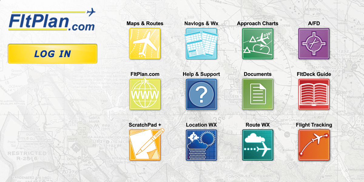
FltPlan.com is a popular website for flight planning and weather briefings, especially among professional pilots. They have offered a free iPhone/iPad app companion for some time and continue to update it regularly with new features. The latest update brings a feature many pilots have been asking for–IFR low and high altitude en route charts for the Caribbean and Mexico. This complements the app’s current chart offerings, which include sectionals, IFR high and low altitude charts and approach charts for the U.S., and IFR high and low altitude charts for Canada.
Overall, FltPlan.com’s app is a handy addition to any pilot’s iPad–especially considering it’s free. This is certainly not a full-featured app like ForeFlight, WingX or Garmin Pilot. It’s more of an add-on, especially if you already use the FltPlan.com website (it has amazingly accurate aircraft performance models for flight planning). Check out this post for more information on this app’s other features: Fltplan.com app.
- iOS Update Green Light program: iOS and iPadOS 26.3 - February 12, 2026
- ForeFlight vs. Garmin Pilot: key differences to help you decide - February 10, 2026
- How to find your iPad model number - February 3, 2026


App doesn’t do much and web site is far too complex to be useful – website errors out most of the time. Too bad the other vendors don’t have digital Mexico and that going paper is far better than flat plan.com
necesito saber si garmin tiene las cartas de southamerica