
ForeFlight Quiz: Advanced map challenge
|
Getting your Trinity Audio player ready...
|
ForeFlight’s moving map screen provides nearly every piece of information a VFR or IFR pilot needs over the course of a flight. Take our latest quiz and see if you know how to access some of its hidden features.
How can you display VFR Flyway Planning Charts on the moving map?
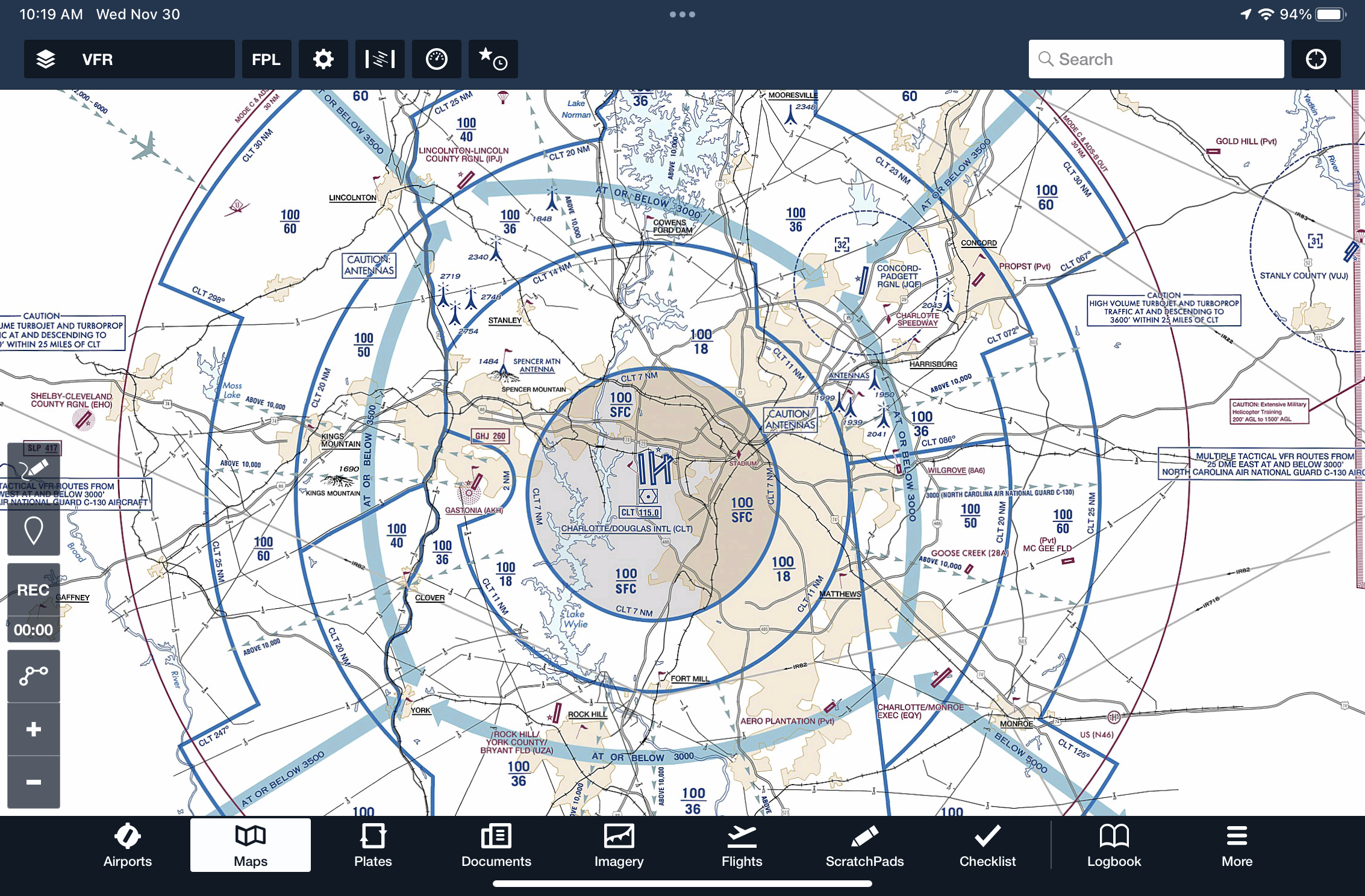
Correct!
Wrong!
When the NOTAMs layer is enabled on the map, what is the significance of an area highlighted with yellow shading?
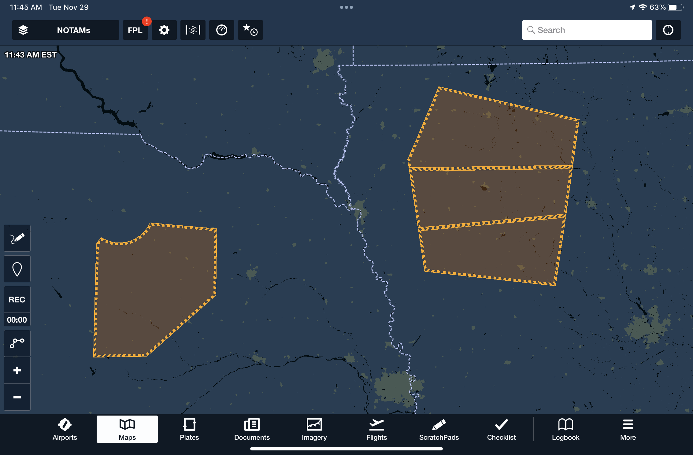
Correct!
Wrong!
How can you quickly find the nearest airport in ForeFlight?
Correct!
Wrong!
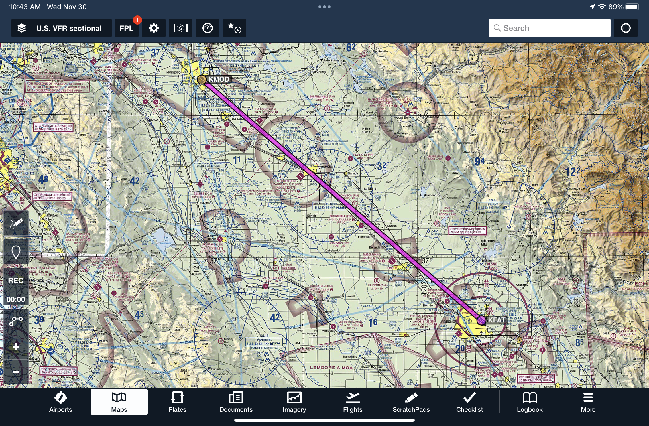
When approaching to land at an airport, how can you display a final approach path aligned with the planned landing runway?

Correct!
Wrong!
What do the yellow and red colors indicate for terrain when the Hazard Advisor layer is enabled?
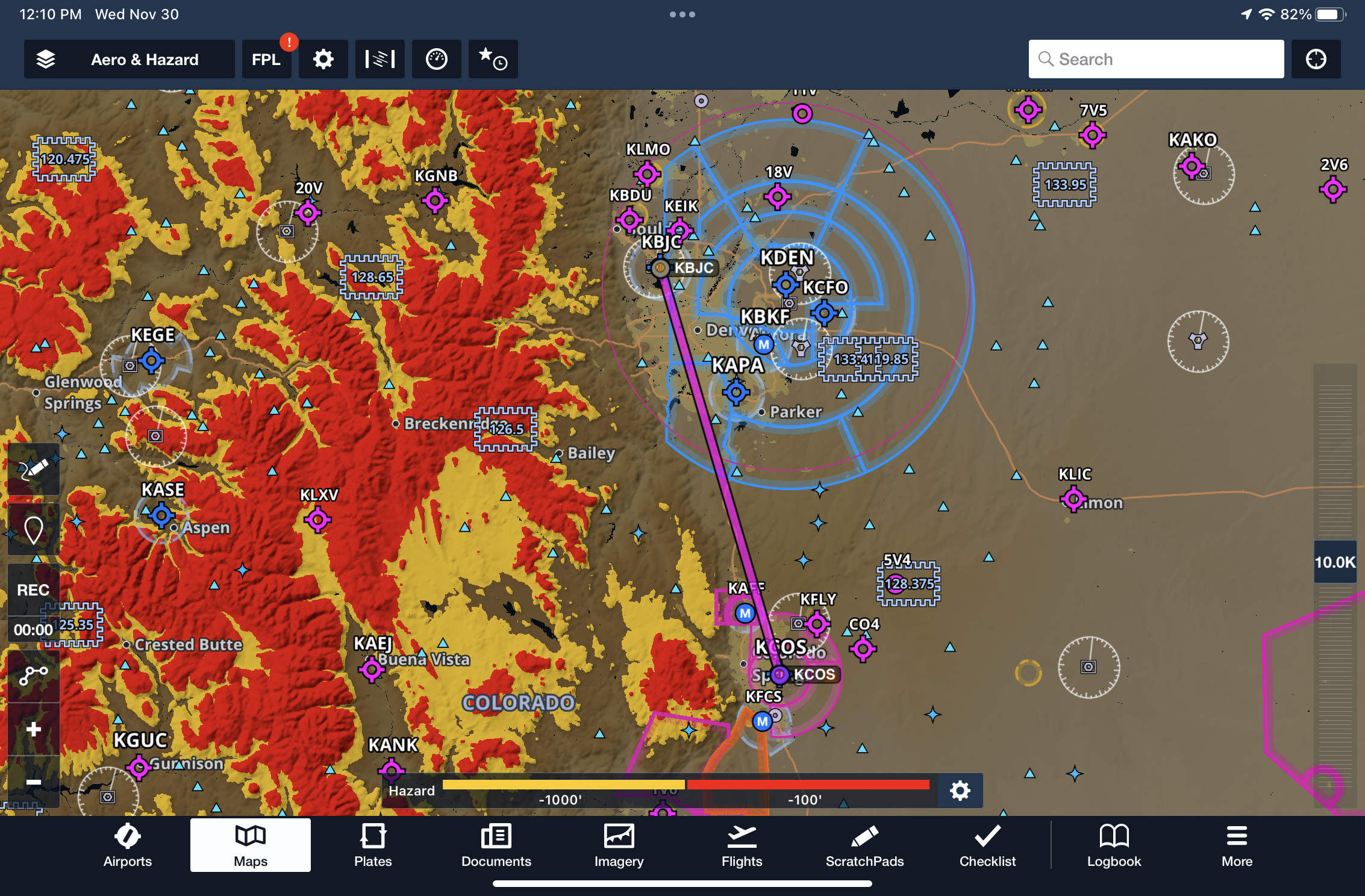
Correct!
Wrong!
How can you display the legend and side panel of VFR Sectional or IFR En Route chart on the map?
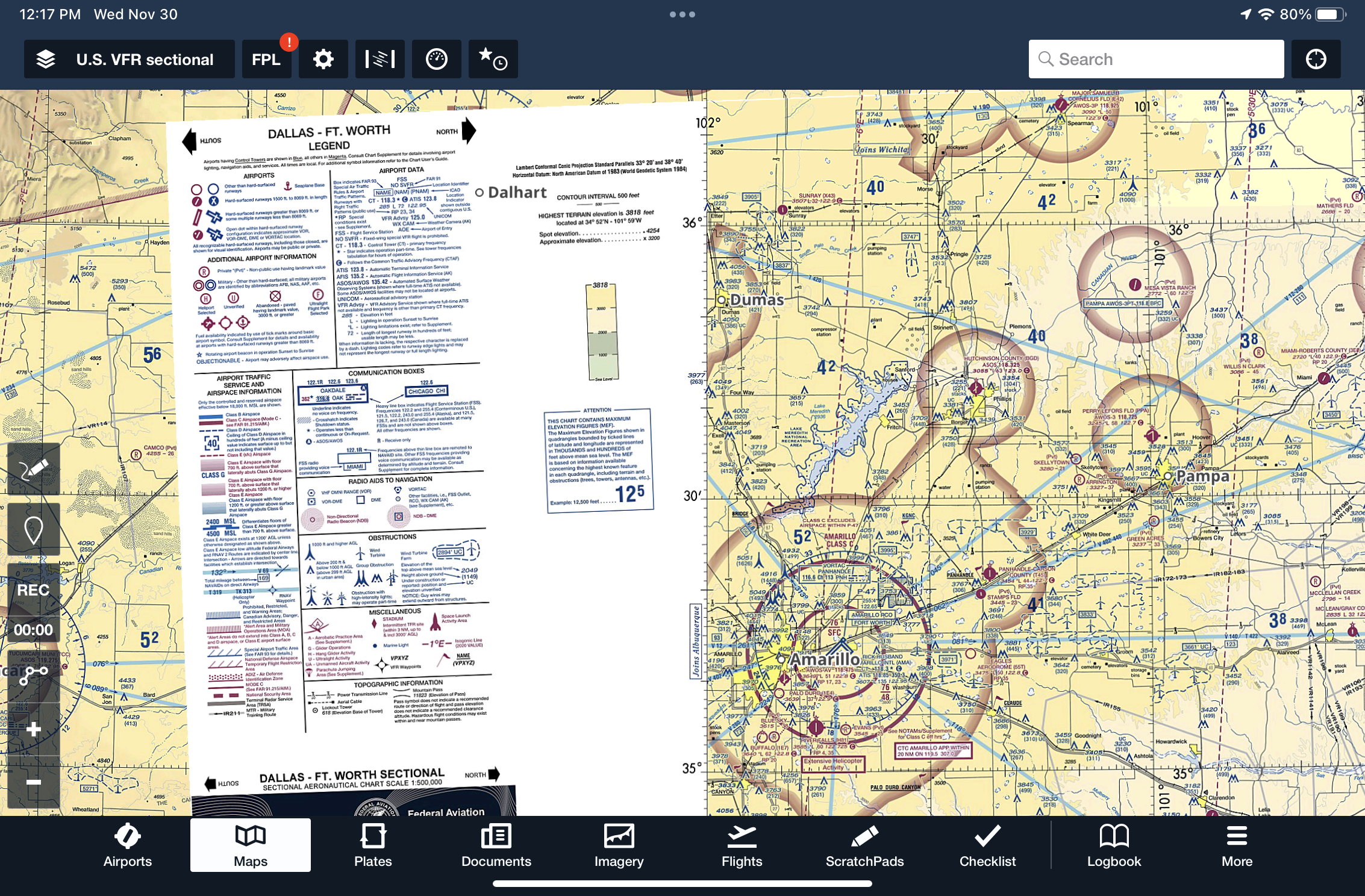
Correct!
Wrong!
When flying with an ADS-B receiver, how can you display ground-based traffic on an airport diagram?
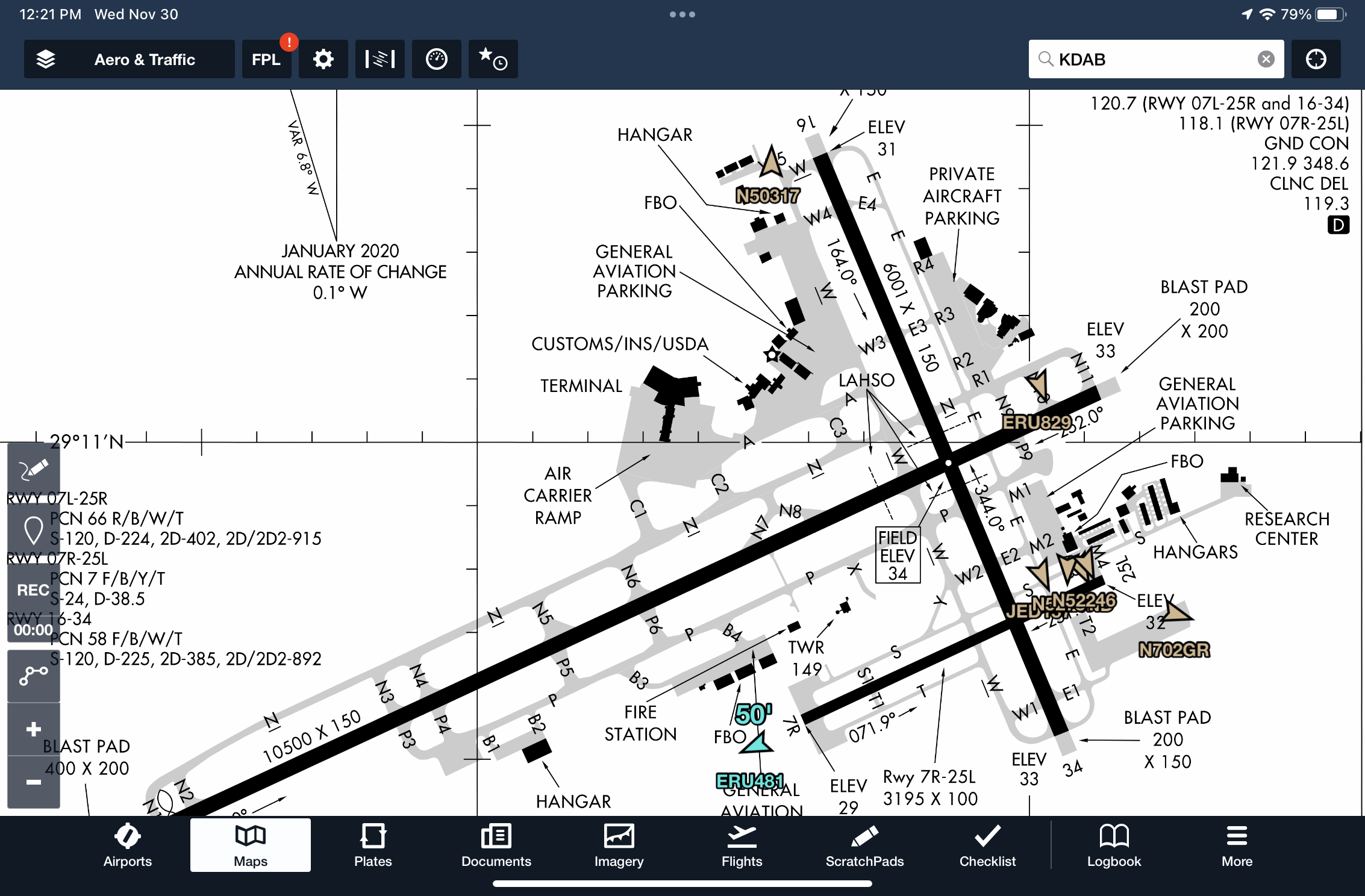
Correct!
Wrong!
Where can you find a written description about surface Hot Spots for an airport?

Correct!
Wrong!
While briefing an instrument approach, you see a snowflake icon and temperature listed in the briefing strip. What does this mean and where in ForeFlight can you find more information?
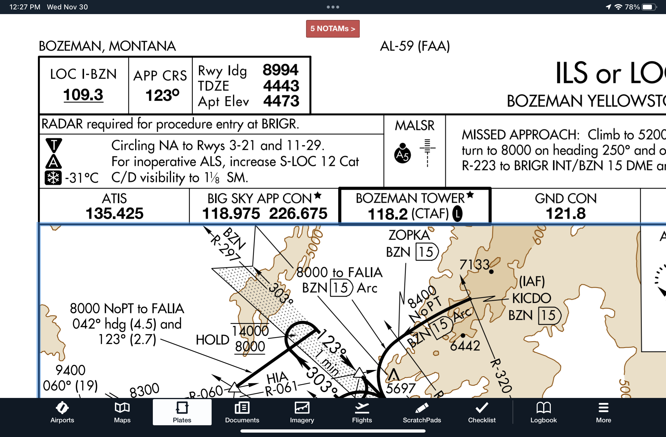
Correct!
Wrong!
When viewing the Aeronautical map overlay, how can you determine the MEA for an airway?
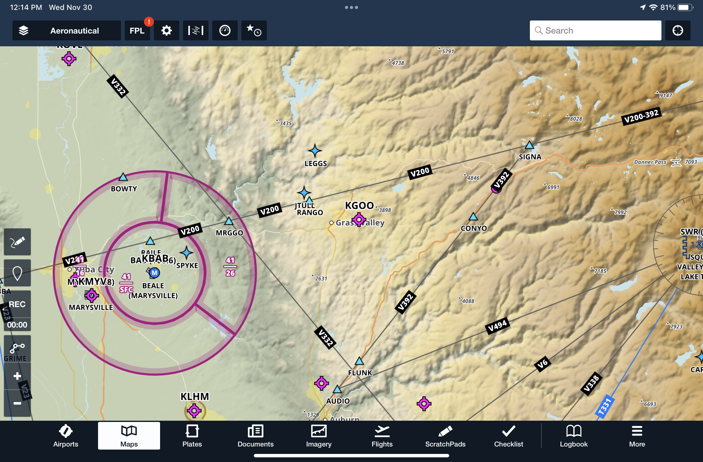
Correct!
Wrong!

ForeFlight Advanced Map Challenge
You got out of 10 right!
Bret is a senior vice president at Sporty's and senior flight instructor for Sporty's Academy. In addition to Bret's teaching responsibilities, Bret leads Sporty's video production and app development team and serves as editor of iPad Pilot News. As an airline transport pilot, Bret is a senior captain in Sporty's corporate flight department.
Latest posts by Bret Koebbe (see all)
- ADS-B Quiz for Pilots: Test Your Datalink Weather Knowledge - June 16, 2026
- The 10 Best Weather Apps for Pilots—2026 Edition - June 10, 2026
- What to Do When Your iPad Gets Too Hot (or Too Cold) in the Cockpit - June 5, 2026


Thanks for the quiz. Very helpful! Please offer more
This was great quiz. It taught me some very useful functions in ForeFlight that I was unaware of and will now use
Good quiz. Learned something new.
Always a useful task. Enjoyable and a great learning opportunity to improve the usefulness of Foreflight.
Strangely, I do not have the US.VFR Flyway option in my (presumably current) version. I suspect it is for a higher subscription level. Therefore, the question is improper.
I have the most basic subscription and have the US VFR Flyaway option. It should be under US IFR (ocean) as U.S. VFR (flyaway).
Love the function to bring up legend…good stuff.
Great app all the way around.
Why is it that you NEVER post any tips, quizzes, etc. for Garmin Pilot?
Always good to find out what ya that you knew but it was wrong.
That’s the kind of stuff that gets you in trouble.
This clarified some items and reinforced others.
Foreflight is so deep that you have to practice to try to stay aware of the tools you don’t frequently use.
Nice quiz.
Just this week I wondered about the quickest way to find the nearest airport in ForeFlight and here it was! The active SUA NOTAMs and hot spot text were also my favs. And now I know why my map legend was “randomly” showing up on my map. Great quiz!
What ever happened to pilotage and dead reckoning? Ugh! I feel old.
That’d require a “great reset” in the Public Education Industrial Complex…
LOL. Thanks for that irrelevant nugget
Amazing learning! Like the Harvard case study method. NOWHERE have I learned so much as during this quiz. Excellent! Keep bringing these quizzes to us for the best learning available for your subscribers.
Great quiz , good useful features uncovered .
Great quiz! Learned several “new” features. We love Foreflight!!
I always keep “nrst apt” in lower RH corner of maps screen but it is presented incorrectly from a safety perspective. When a pilot needs direction to the nearest airport s/he needs it NOW.
Therefore, ForeFlight should present the nrst Airport in a user friendly TO format. Currently, the information presented in FROM format requires a pilot undergoing a probable emergency to compute the reciprocal direction to the airport while operating under duress.
Wonderful. Learned a lot. Took the test three times and tried each feature until I got them all.