Garmin Pilot adds graphical weight and balance function
|
Getting your Trinity Audio player ready...
|
Garmin’s latest app update is out just in time for Oshkosh and adds a nice selection of new planning features. There’s a new graphical weight and balance view, map search capability and an update to the interactive measuring tool on the map. Pilots flying in Europe will also benefit from the inclusion of Eurocontrol Aeronautical Information Publications (AIPs), an enhancement to French NOTAMs information and added support for the uAvionix Sky Echo 2 receiver.
Graphical weight & balance
The weight and balance feature in the app includes a new graphical view, making it quick and easy to enter the weight for each station and visualize the results on a dynamic CG envelope chart. Simply tap one of the pilot, passenger, cargo or fuel positions and enter the weight for that station:
The same fuel customization options are included in the new graphical view and provides an instant landing weight and CG computation. You can also switch the CG envelope view to a Station Chart options, which neatly shows the location of each loaded item in relation to the calculated CG:
This new graphical weight and balance view will display by default for your existing aircraft profiles, provided that you previously entered the weight and balance details for your airplane. You can also quickly create a new weight and balance profile from the templates included in the app. You’ll just need to add the specific basic empty weight and CG for your particular model
Graphical weight and balance requires the Garmin Pilot Premium add-on subscription.
Map Search
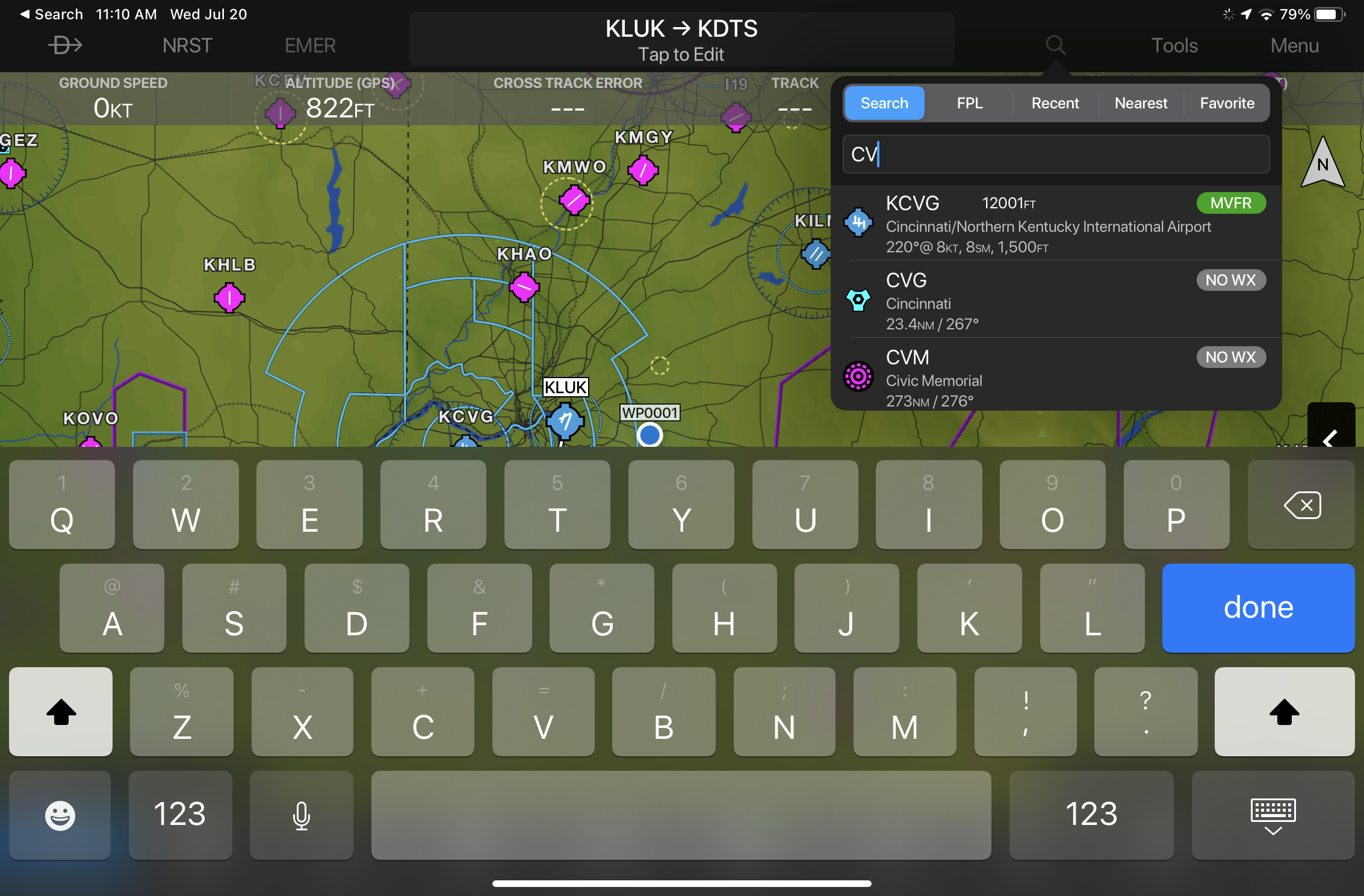
Map search is a powerful new tool that allows you to quickly search for airports, navaids and intersections by identifier or name. It is accessed from the magnifying glass icon on the right side of the menu bar:
It incorporates Garmin’s Fast Find predictive logic to suggest results, which is the same popular feature found in Garmin’s panel-mount avionics. Start typing and the app will prioritize search results closest to your nearest location:
Distance Measuring Tool
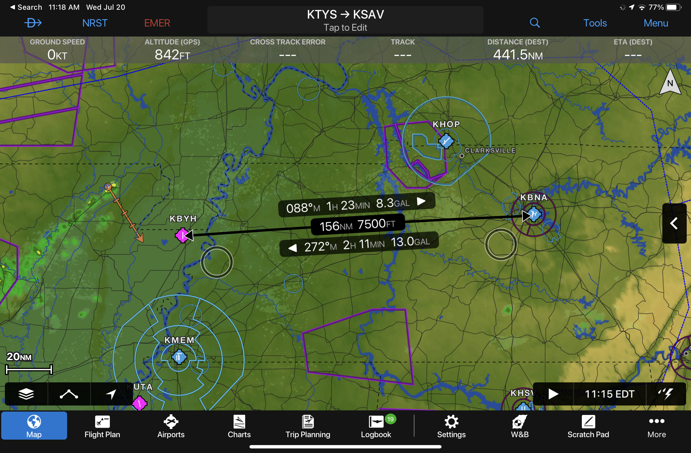
Garmin improved the usability of the distance measuring tool to display touch points just below the rule, which are shown as two black rings. This allows you to accurately control the length and position of the tool without obscuring the view. To activate the tool, tap and hold on the map with two fingers:
- Pilot Report: Stratus 4 ADS-B Receiver - December 17, 2025
- iOS Update Green Light program: iOS and iPadOS 26.2 - December 15, 2025
- What’s the best iPad for Pilots – 2025 Holiday Edition - December 2, 2025


In which format would I need to enter W&B data for my aircraft?