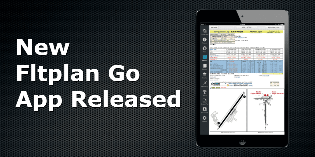
Fltplan.com launches new app
The popular online flight planning website Fltplan.com has offered a free app for a few years, with the ability to download basic navigation logs and charts. We’ve reviewed it before and found it to be a good complement to apps like ForeFlight or WingX, but not full-featured enough to stand on its own. The company aims to change that with the introduction of Fltplan Go, a new app that has more complete in-cockpit features–but remains free.
The app features a column of buttons down the left side of the screen, allowing pilots to quickly navigate to all of the pages. Here, you’ll find all the basic features you would expect, including:
- Moving map sectional and IFR charts with North up or Track up navigation
- Geo-referenced taxi diagrams and approach plates
- Complete airport information including fuel prices
- Navigation logs with winds aloft forecast and estimated fuel burn
- Pre-flight weather briefings saved for offline viewing
- In-flight weather capability (with Baron XM receiver or Clarity ADS-B receiver)
Most of these features are well executed, giving pilots the ability to plan a flight, pick an FBO, get a weather briefing and go flying with no paper charts. This is impressive, but it’s all available in other apps already. But Fltplan Go does offer some unique features beyond the basics:
- Breadcrumbs show your recent flight track history, similar to some portable GPSs
- Binders can be created with more than just approach plates, including documents, A/FD information, flight plans and more
- Weight and balance calculations can be run in the app (requires profile to be set up online first)
- Flight tracking, a feature available on the Fltplan.com website, can be used in the app
- Electronic logbook functions, also available online, can be used in the app
So what’s not to like? We have a few complaints. First, the app is a little rough around the edges (probably to be expected for a brand new app). We had it lock up on us once and some of the menus are cut off in iOS 7. Also, not all approach charts are geo-referenced yet.
Beyond these few teething pains, we found the app to be a little cumbersome to navigate. The left side column of buttons is nice, but some of the more involved operations take a lot more steps. For example, the scratchpad feature requires you to tap a menu, create a new doodle, name the doodle and open the doodle before you can start writing. If you were trying to copy an IFR clearance, this sequence would simply take too long. In addition, the app is designed to be used in conjunction with the Fltplan.com website, not as a completely self-contained program. Nav logs, one of the company’s best features, still must be created online, then downloaded into the app.
As for features, we found the radar imagery to be fairly rough, and not on par with the high resolution picture you would see in other apps. There are also no terrain or obstacle warnings, and the pre-flight weather briefings are very limited (especially when it comes to graphics). The final comment is that Fltplan Go is ad-supported (that’s why it’s free), so there are banners throughout the app. Most of these are tastefully done, but it is something you notice.
At the end of the day, the app isn’t on par with the big three (ForeFlight, Garmin and WingX), but it’s getting closer. And at a price of free, many pilots will find it to be an attractive option, as a backup if nothing else. Fltplan.com deserves credit for one more thing: they have a nice selection of tutorials online to help new users get comfortable.
For more information or to download the app, visit the iTunes App Store.
View our selection of screenshots below.


In my RV 10, II have a Garmin GTN 750 and Aera 796 and an iPad with ForeFlight. None of these have Mexican charts and approach plates on them. Where can I get the charts and approach plates for Mexico. Many thanks. George
skyvector.com