ForeFlight adds cloud syncing and new terrain controls
It seems most pilots these days use their ForeFlight app on multiple devices, relying on an iPhone when on the go for basic flight planning and weather, and then taking advantage of the iPad’s larger screen for in-flight use. The challenge though, is that you have to enter your flight planning data separately on both devices to get the most out of the app.
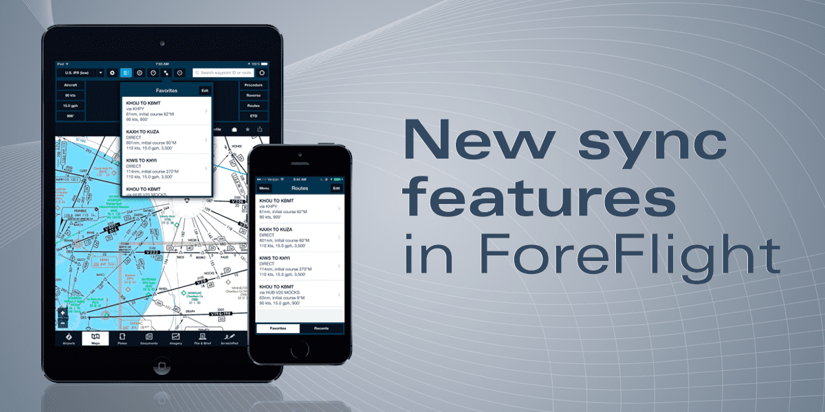
ForeFlight version 6.2.1 solves this problem by adding a new automated, cloud-based syncing feature that transfers data seamlessly between all the devices that share the same ForeFlight login. With this initial release, the app seamlessly synchronizes your recent and favorite routes, airports, weather imagery, and user waypoints (ForeFlight says there will be more sync features coming soon).
For example, after entering a route on the maps section of ForeFlight on your iPhone, launch ForeFlight on your iPad, tap the maps tab, and then press the recent routes button (the icon looks like a clock) at the top right of the screen. At the top of the list you’ll see the same route you just entered on your iPhone — simply tap it to activate it. While both devices must be connected to the internet for the syncing to take place, an offline device will automatically sync right back up as soon as it’s reconnected to the internet. You can manage sync in More > Settings > then scroll to Preferences > Synchronize User Data. The toggle will turn Sync ON (blue) or OFF for that device.

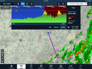
The ForeFlight terrain profile view now gives options for adjusting alert altitude and the route corridor width.
This update also includes several improvements to the terrain profile feature on the iPad map. The Profile view has a new, refined look with the highest point, clearance, and first strike figures now presented in a panel on the right-hand side of the view, making that information easier to read. A new terrain settings menu allows you to set your flight path corridor width from the Profile view with options ranging from 1/2NM – 20NM, instead of the previous fixed value of 2NM.
You can also adjust what relative altitudes from your aircraft are used for presenting the yellow and red alert coloring of terrain and obstacles. The default is 1,000′ for yellow and 100′ for red, but the new settings allow low-altitude operators, like helicopters, to fly closer to the ground without hazard alerts appearing. Hazard advisor and the terrain profile view require a ForeFlight Pro subscription.
- iOS Update Green Light program: iOS and iPadOS 18.6.2 - August 20, 2025
- Should pilots buy an iPad with a built-in GPS? - August 6, 2025
- ForeFlight Flights section: Pro tips for pilots - August 1, 2025


