
ForeFlight Quiz: Advanced map challenge
1 min read


ForeFlight’s moving map screen provides nearly every piece of information a VFR or IFR pilot needs during a flight. Take our latest quiz to see if you know how to access some of its hidden features.
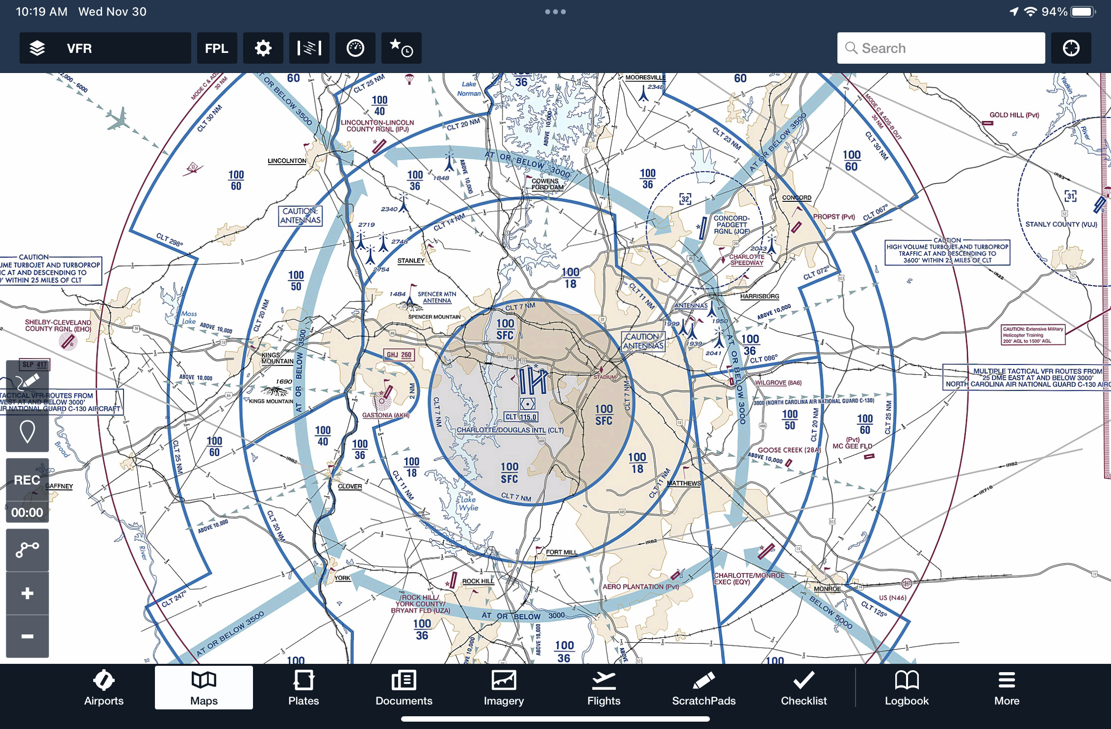
How can you display VFR Flyway Planning Charts on the moving map?
Correct!
Wrong!
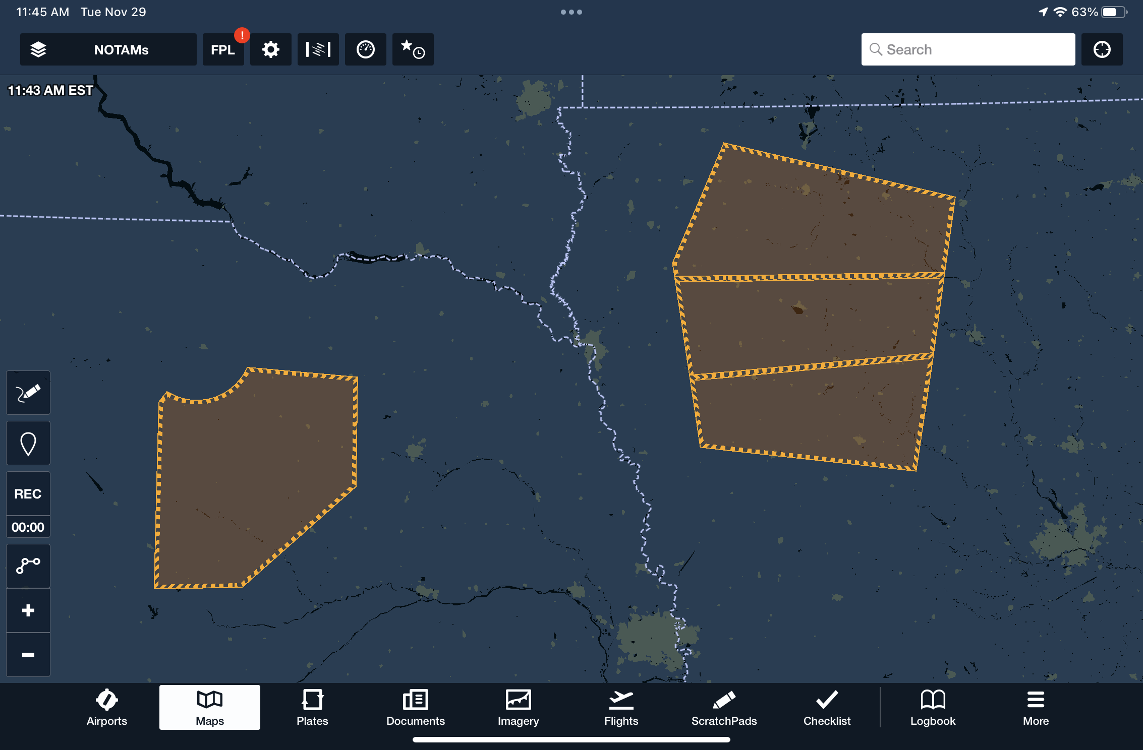
When the NOTAMs layer is enabled on the map, what is the significance of an area highlighted with yellow shading?
Correct!
Wrong!
How can you quickly find the nearest airport in ForeFlight?
Correct!
Wrong!
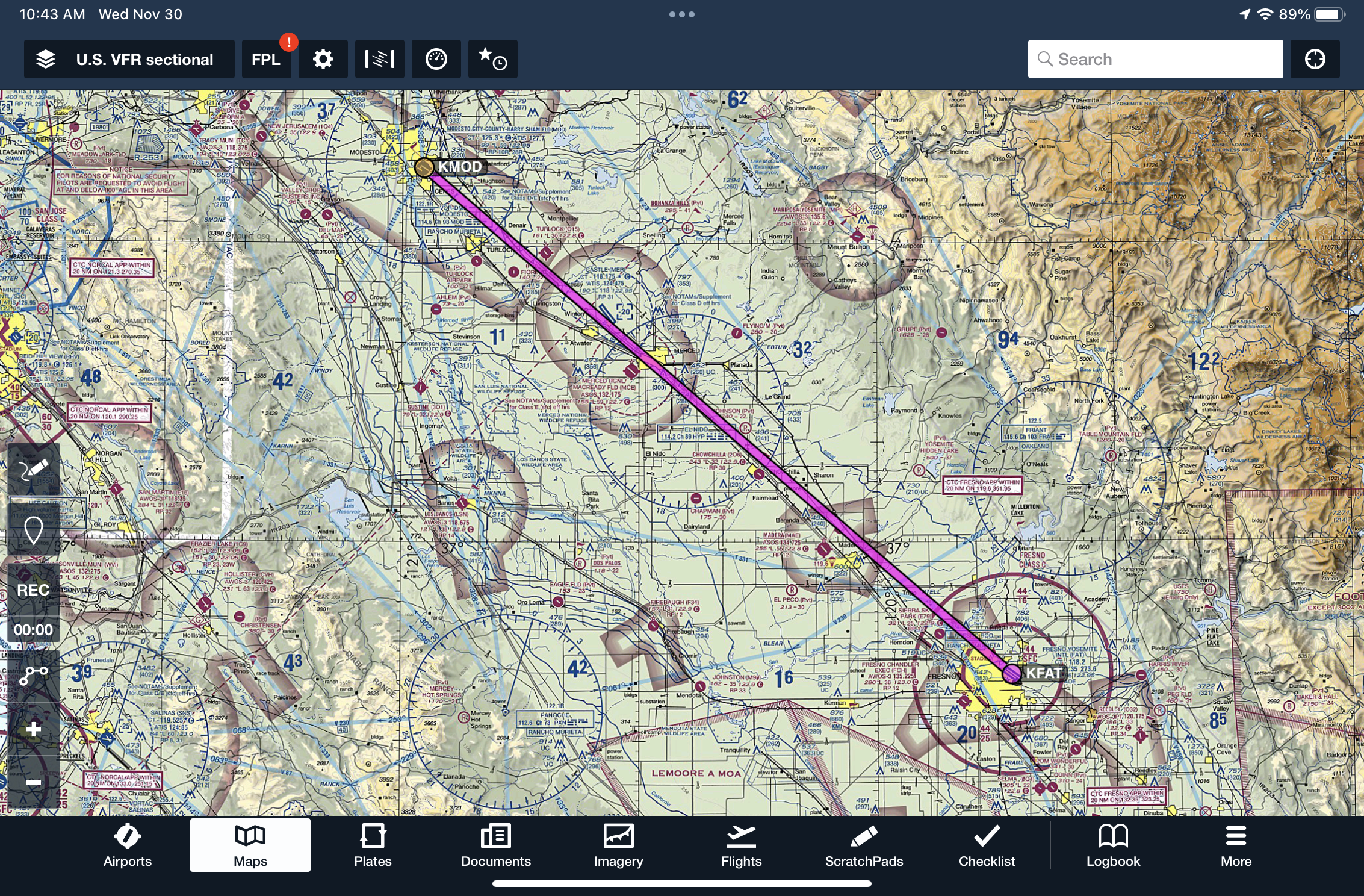
When approaching to land at an airport, how can you display a final approach path aligned with the planned landing runway?
Correct!
Wrong!
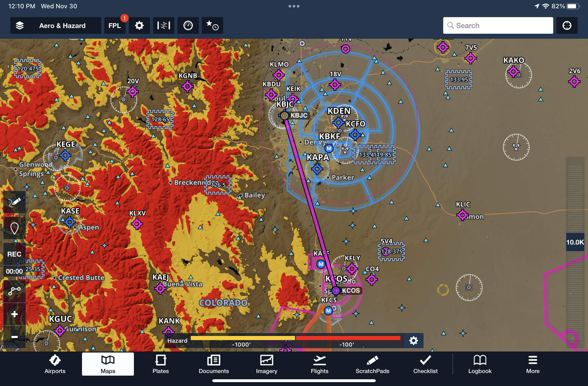
What do the yellow and red colors indicate for terrain when the Hazard Advisor layer is enabled?
Correct!
Wrong!
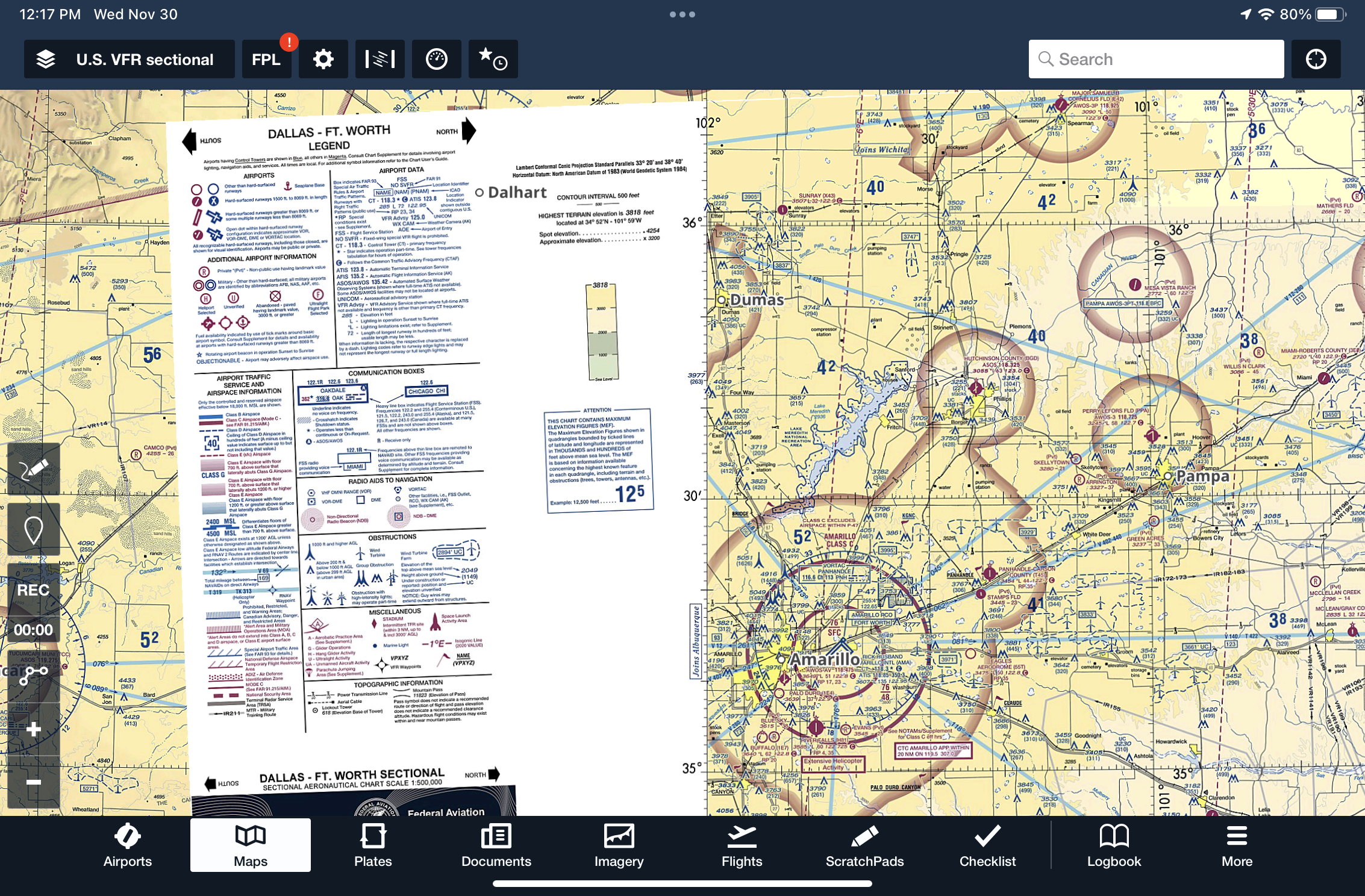
How can you display the legend and side panel of VFR Sectional or IFR En Route chart on the map?
Correct!
Wrong!
When flying with an ADS-B receiver, how can you display ground-based traffic on an airport diagram?
Correct!
Wrong!
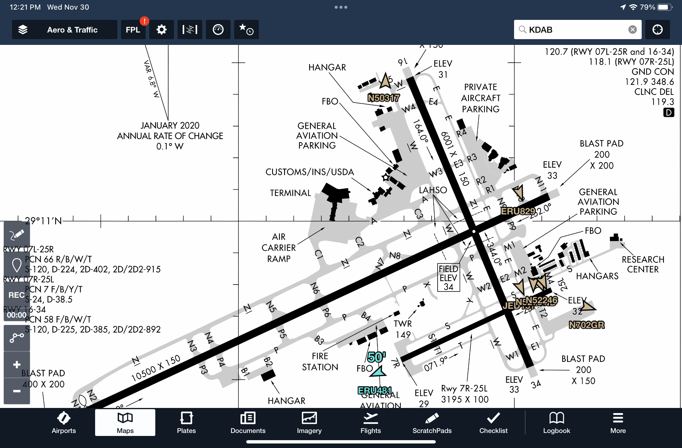
Where can you find a written description about surface Hot Spots for an airport?
Correct!
Wrong!
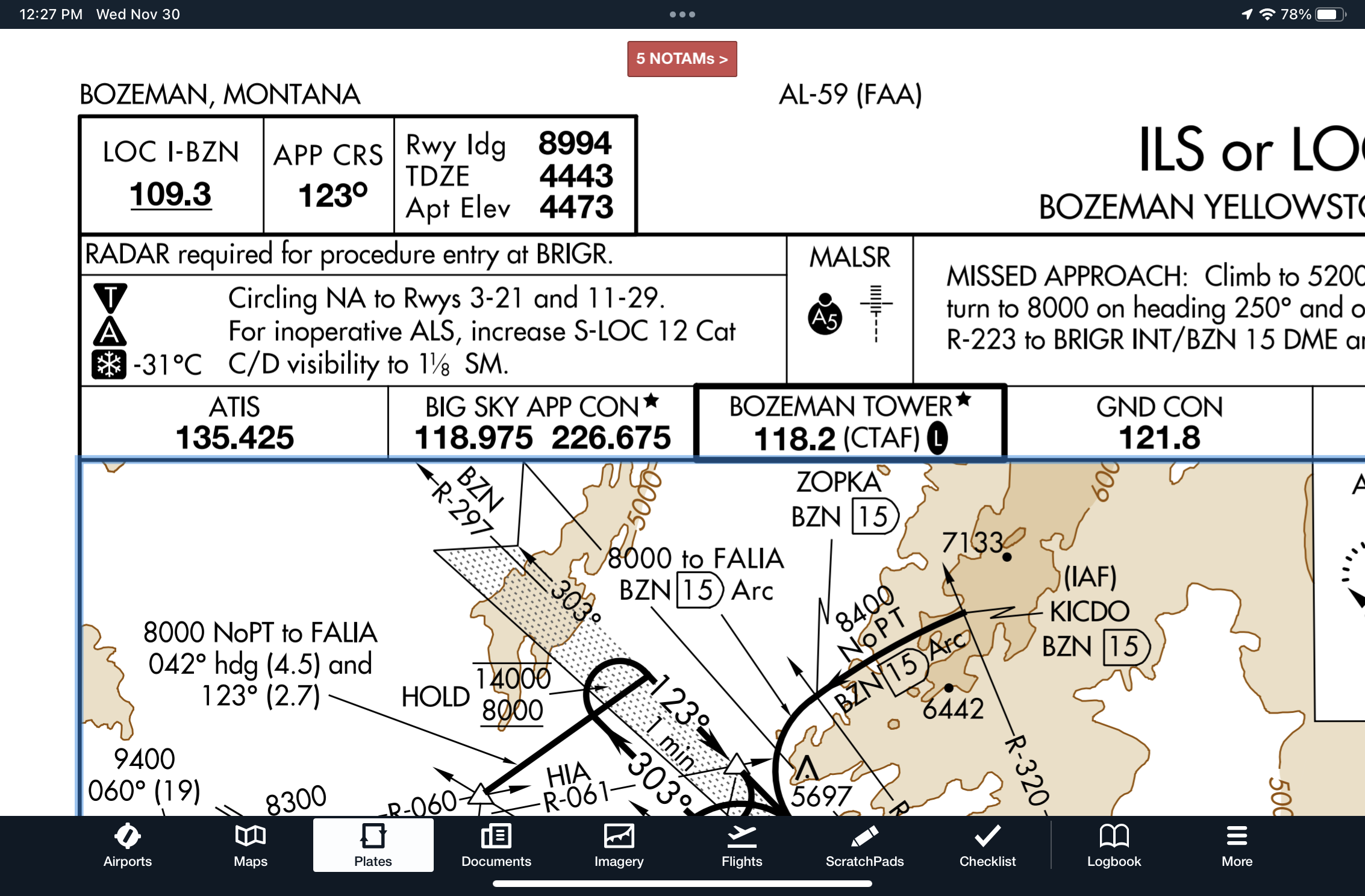
While briefing an instrument approach, you see a snowflake icon and temperature listed in the briefing strip. What does this mean and where in ForeFlight can you find more information?
Correct!
Wrong!
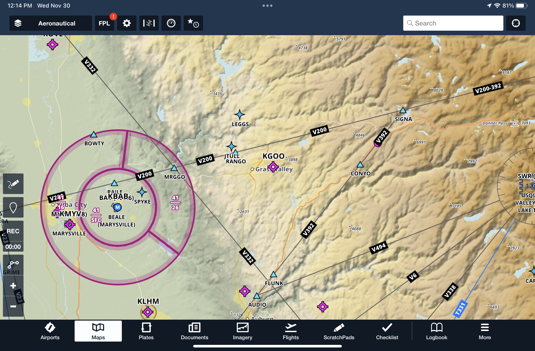
When viewing the Aeronautical map overlay, how can you determine the MEA for an airway?
Correct!
Wrong!
ForeFlight Advanced Map Challenge
You got out of 10 right!
Bret is a senior vice president at Sporty's and senior flight instructor for Sporty's Academy. In addition to Bret's teaching responsibilities, Bret leads Sporty's video production and app development team and serves as editor of iPad Pilot News. As an airline transport pilot, Bret is a senior captain in Sporty's corporate flight department.
Latest posts by Bret Koebbe (see all)
- ADS-B Quiz for Pilots: Test Your Datalink Weather Knowledge - June 16, 2026
- The 10 Best Weather Apps for Pilots—2026 Edition - June 10, 2026
- What to Do When Your iPad Gets Too Hot (or Too Cold) in the Cockpit - June 5, 2026


GREAT little exercise!!! Very helpful.
Use ForeFlight on every flight, even internationally, and discover something new each time ..Discovered MANY new, at least to me, things through this quiz!! Thanks!